
INTEL
What Super El Niño Means for Ski Season
A strong El Niño is developing in the Pacific. Here’s what the science can (and can’t) tell us about the winter ahead.
El Niño is here
It’s getting stronger, and NOAA says there’s a 97% chance it sticks around through early spring 2027. El Niño occurs when surface waters in the central and eastern tropical Pacific become unusually warm, and that change can influence the position and strength of the jet stream that steers storms across North America. During El Niño winters, that river of wind tends to strengthen and shift southward, which has historically increased precipitation (and, at sufficiently high elevations, snowfall) across parts of the country.
This one is running hot. Ocean temperatures in the tracking zone climbed past +2°C this summer, and nearly every model expects the event to peak around the holidays. But El Niño is a climate pattern, not a snowfall guarantee. A single well-placed storm matters more to your ski trip than any seasonal average, and no late-summer forecast will tell you where winter storms will go. Which is good news: no mountain can be counted out.
What to watch
California and the Sierra: This is the region with the clearest historical signal in the West, and strong El Niño winters have repeatedly delivered the largest snowfall surpluses here. But keep an eye on snow level, not just precipitation. A warm atmospheric river can dump enormous moisture while pushing the rain-snow line up the mountain; a colder storm turns identical moisture into a historic powder day. Elevation is the whole game this year.
Utah: A southerly storm track funnels Pacific moisture into the Southwest, and Utah is positioned to catch it. But northern and southern Utah can have completely different weather in the same week. The pattern tilts the odds in an interesting direction without telling us exactly which canyon will get the goods.
Colorado: NOAA’s historical analysis identifies Colorado among the areas west of the Mississippi that have seen some of the largest positive snowfall departures during strong El Niño events. But Colorado is a big state, and the mountains stretch across several distinct climatic zones. The exact placement of the jet stream and individual storm tracks matters enormously. High base elevations are a real structural advantage in any marginal-temperature winter, because when a storm arrives, it arrives as snow.
Wyoming and Montana: The northern Rockies sit closer to the transition zone, and this is the region that diverges from the composite most often. Cold continental air, high elevation, and terrain that holds snow are advantages that no seasonal outlook accounts for.
The Northeast: El Niño can influence the broader atmospheric pattern, but New England ski conditions depend heavily on where individual coastal storms track and whether cold air is available; shift a storm sixty miles and a foot of powder becomes rain. This is precisely why Northeastern resorts run some of the most sophisticated snowmaking operations on the continent.
Don’t chase the pattern
Look for what makes a mountain resilient regardless of whatever the sky decides.
Elevation: High terrain wins when temperatures are marginal, and El Niño winters produce plenty of marginal temperatures
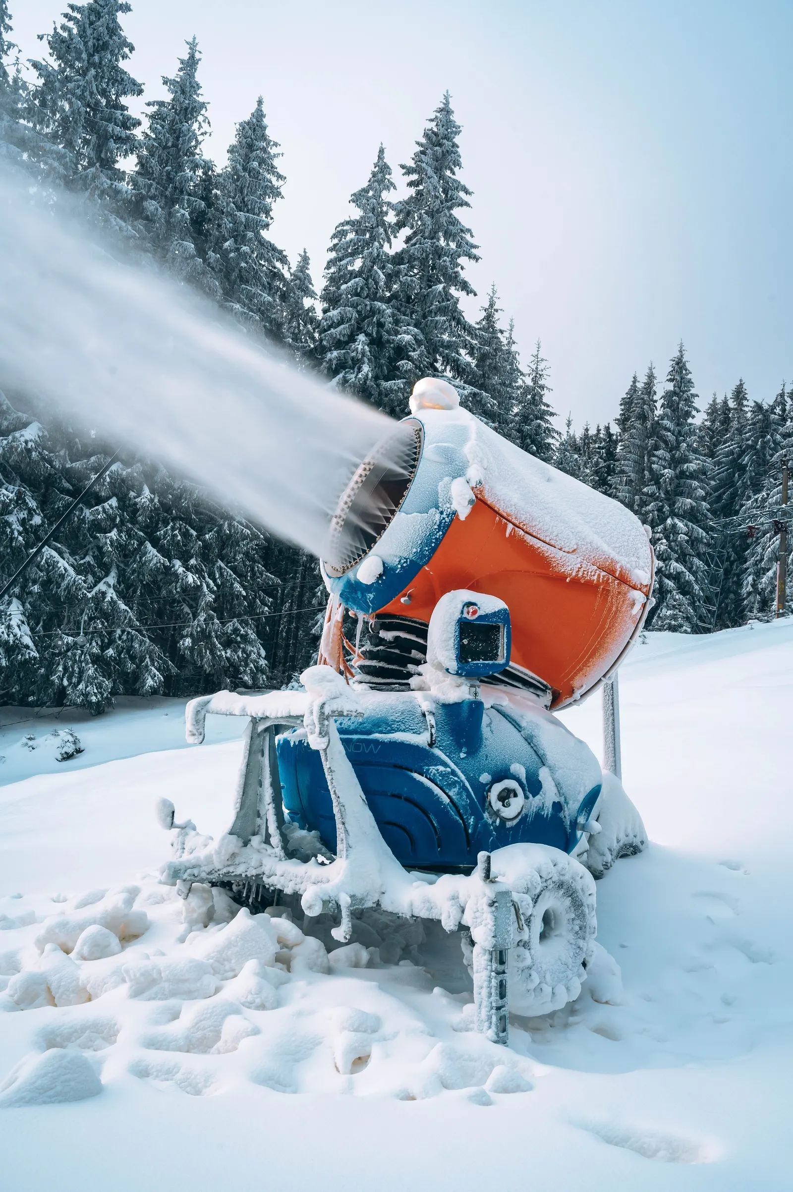
Snowmaking operations: Not exactly romantic, but possibly the most useful
Terrain variety: More aspects and elevations means more options when conditions are uneven
Track record: One unusual forecast doesn’t outweigh decades of data
The most useful outlook will come later, when we can see how the Pacific pattern evolves, where the jet stream is actually tracking, and what the mountains are receiving.
Until then
There’s only one reasonable prediction: Winter is coming. And somewhere in the mountains, the next great powder day is already on its way.
Explore other itineraries


INTEL
What Super El Niño Means for Ski Season
A strong El Niño is developing in the Pacific. Here’s what the science can (and can’t) tell us about the winter ahead.
El Niño is here
It’s getting stronger, and NOAA says there’s a 97% chance it sticks around through early spring 2027. El Niño occurs when surface waters in the central and eastern tropical Pacific become unusually warm, and that change can influence the position and strength of the jet stream that steers storms across North America. During El Niño winters, that river of wind tends to strengthen and shift southward, which has historically increased precipitation (and, at sufficiently high elevations, snowfall) across parts of the country.
This one is running hot. Ocean temperatures in the tracking zone climbed past +2°C this summer, and nearly every model expects the event to peak around the holidays. But El Niño is a climate pattern, not a snowfall guarantee. A single well-placed storm matters more to your ski trip than any seasonal average, and no late-summer forecast will tell you where winter storms will go. Which is good news: no mountain can be counted out.
What to watch
California and the Sierra: This is the region with the clearest historical signal in the West, and strong El Niño winters have repeatedly delivered the largest snowfall surpluses here. But keep an eye on snow level, not just precipitation. A warm atmospheric river can dump enormous moisture while pushing the rain-snow line up the mountain; a colder storm turns identical moisture into a historic powder day. Elevation is the whole game this year.
Utah: A southerly storm track funnels Pacific moisture into the Southwest, and Utah is positioned to catch it. But northern and southern Utah can have completely different weather in the same week. The pattern tilts the odds in an interesting direction without telling us exactly which canyon will get the goods.
Colorado: NOAA’s historical analysis identifies Colorado among the areas west of the Mississippi that have seen some of the largest positive snowfall departures during strong El Niño events. But Colorado is a big state, and the mountains stretch across several distinct climatic zones. The exact placement of the jet stream and individual storm tracks matters enormously. High base elevations are a real structural advantage in any marginal-temperature winter, because when a storm arrives, it arrives as snow.
Wyoming and Montana: The northern Rockies sit closer to the transition zone, and this is the region that diverges from the composite most often. Cold continental air, high elevation, and terrain that holds snow are advantages that no seasonal outlook accounts for.
The Northeast: El Niño can influence the broader atmospheric pattern, but New England ski conditions depend heavily on where individual coastal storms track and whether cold air is available; shift a storm sixty miles and a foot of powder becomes rain. This is precisely why Northeastern resorts run some of the most sophisticated snowmaking operations on the continent.
Don’t chase the pattern
Look for what makes a mountain resilient regardless of whatever the sky decides.
Elevation: High terrain wins when temperatures are marginal, and El Niño winters produce plenty of marginal temperatures
Snowmaking operations: Not exactly romantic, but possibly the most useful
Terrain variety: More aspects and elevations means more options when conditions are uneven
Track record: One unusual forecast doesn’t outweigh decades of data
The most useful outlook will come later, when we can see how the Pacific pattern evolves, where the jet stream is actually tracking, and what the mountains are receiving.
Until then
There’s only one reasonable prediction: Winter is coming. And somewhere in the mountains, the next great powder day is already on its way.
Explore other itineraries